People ask me constantly whether Newport Beach or Huntington Beach is the "better" coastal city, as if the answer were a matter of taste. It usually is not. The difference between the two goes back more than a century, and it is written into the shape of the land itself, before either city had a name.
Newport Beach: Built Around a Harbor
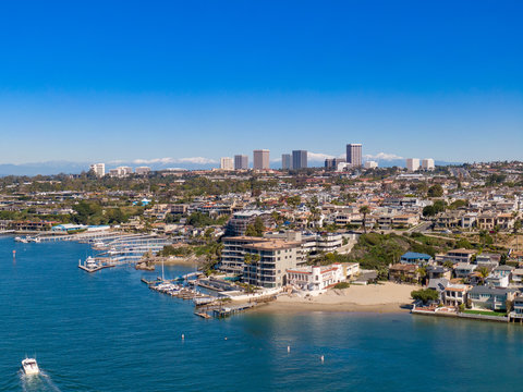
Newport Beach grew up around a natural harbor carved by the ancient Santa Ana River, the same geologic process responsible for the Newport Submarine Canyon offshore. That harbor is why the city was built the way it was. Balboa Peninsula and Balboa Island were not naturally there in their current form, they were created through dredging that began around 1908, and the bay's irregular shoreline meant streets had to curve and follow the water rather than run in a straight grid. When the Irvine Company began master planning communities starting in 1963, that same instinct carried forward: Eastbluff, Harbor View Hills and Big Canyon were built to follow the bluffs and canyons rather than flatten them. The result is a city of distinct, curated villages with irregular lot shapes, view premiums, and architecture that tends to respond to its specific site rather than repeat a template.
Huntington Beach: Built on a Grid
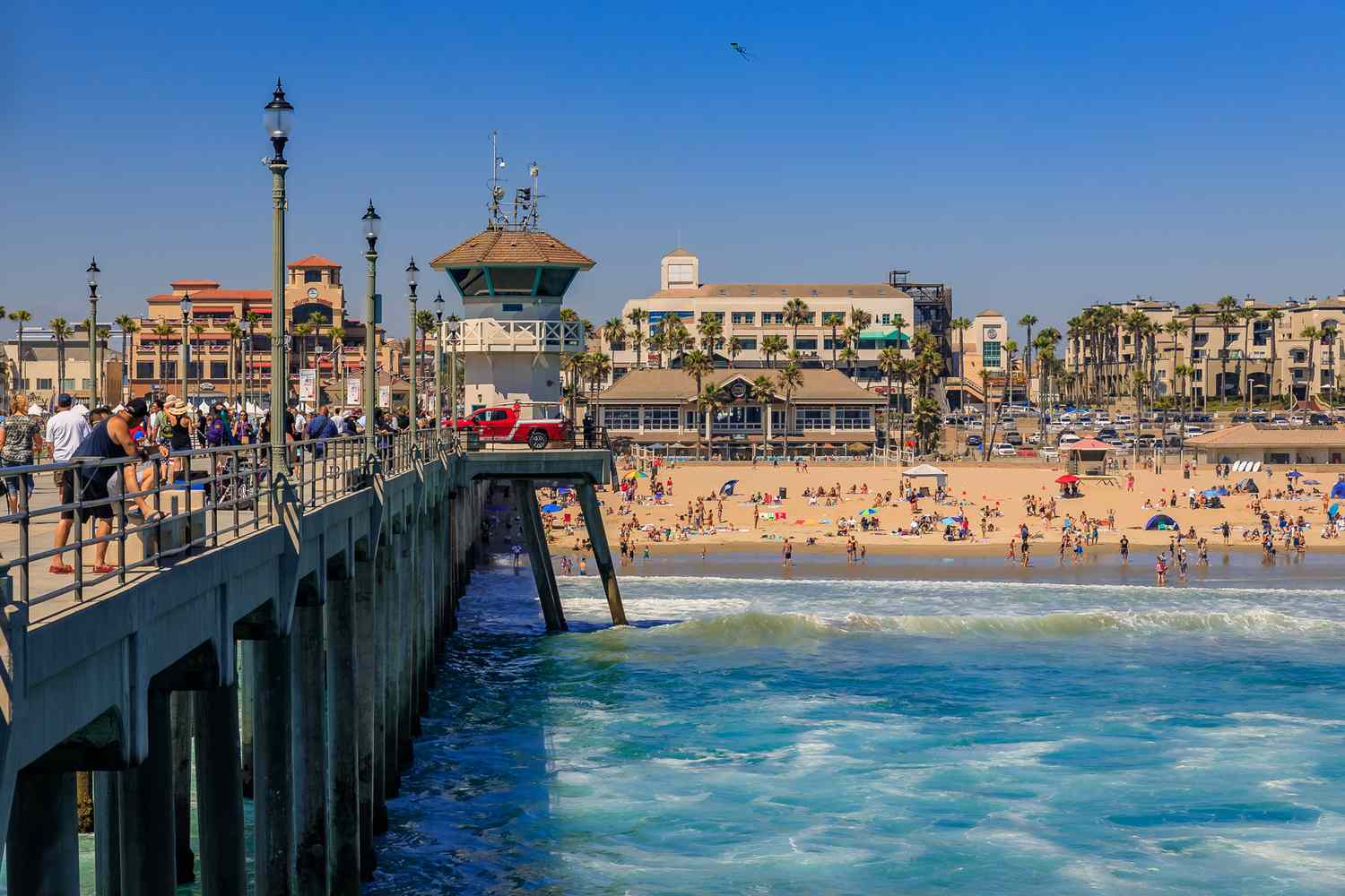
Huntington Beach tells a different story. It was founded in 1901 as Pacific City and renamed after railroad developer Henry Huntington once his Pacific Electric line reached it. What really shaped the city was the 1920 oil discovery, which turned it into a boomtown almost overnight, followed by rapid post-war suburban expansion once the oil fields were converted to housing tracts. Because the coastline there runs long, straight and largely flat for about eight and a half miles, with Pacific Coast Highway cutting directly through the middle of town, the city developed in the classic grid pattern of mid century suburbia. Lot sizes are more consistent, the beach itself is wide and uninterrupted, and in many stretches the highway and parking lots sit between the neighborhoods and the sand rather than homes sitting directly on it. Pockets like Southeast Huntington Beach show that grid pattern clearly.
What This Means If You're Choosing Between Them
Neither pattern is better, they just serve different buyers. Newport's harbor topography rewards architecture and site specific design, which is part of why I find it endlessly interesting to work in, but it also means less consistent comps and more judgment calls. Huntington's grid and flatter terrain make for more predictable comps, larger lots relative to price, and an easier path for additions or rebuilds since you are not fighting a hillside or an easement. If you are choosing between the two, that history is a better guide than vibes alone.
Source: "History of Newport Beach, California" (Wikipedia); HB Beachcomber, "History of Huntington Beach"
Weighing Newport vs. Huntington? Let's talk →